
Shivna River
The Shivana River is a small yet significant tributary of the Godavari River, flowing entirely within the Aurangabad district of Maharashtra. It originates in the Kannad Taluka, from the southwestern slopes of the Ajanta Hills, which also serve as the source of another major tributary, the Purna River.

Manjara River
The Manjara river is a tributary of the river Godavari. The Manjara river originates near Gavalwadi village in the Beed district of Maharashtra. It flows along the northern boundaries of the Osmanabad district, traverses through the Latur district, continues into the Bidar district of Karnataka, and ultimately enters Telangana, contributing to the water systems of these regions.

Dham River
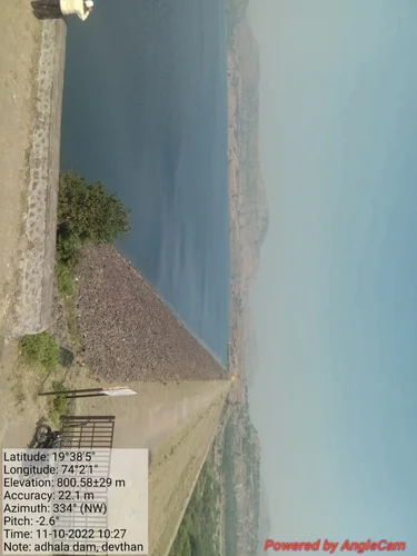
The Dham River, located in Arvi Taluka, Maharashtra, serves as a crucial water resource for the residents of Wardha districts. It supports both drinking water needs and agricultural activities in the region. The river is also home to the Dham Dam, situated near Arvi in the Wardha district.
Lendi River
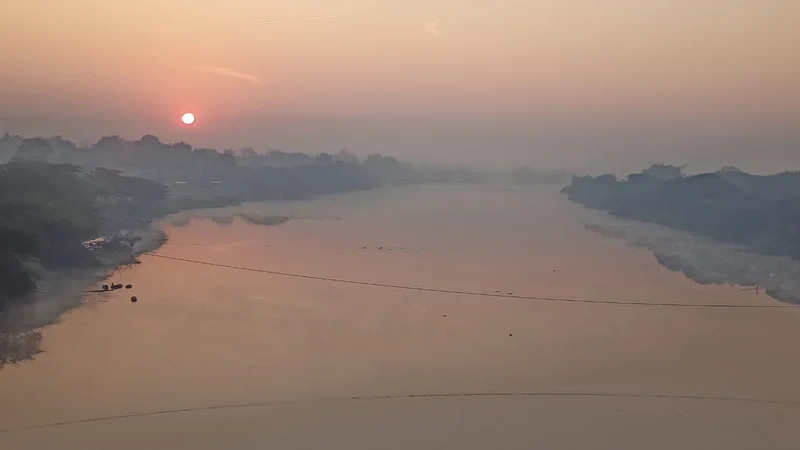
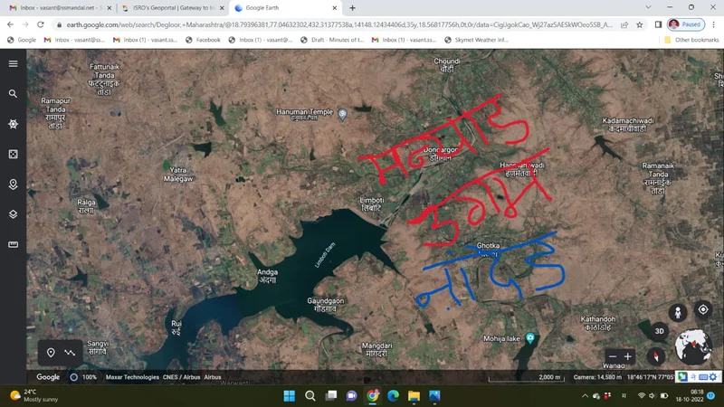
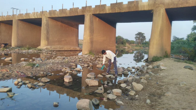
The Lendi River originates in Malkapur in the Latur district and flows into the Manar River at Degloor in the Nanded district. Its water are extensively utilized for industrial purposes, irrigation, fisheries, and various human activities, making it an essential resource for the region. The Lendi River is 80 kilometers long.
Manar River
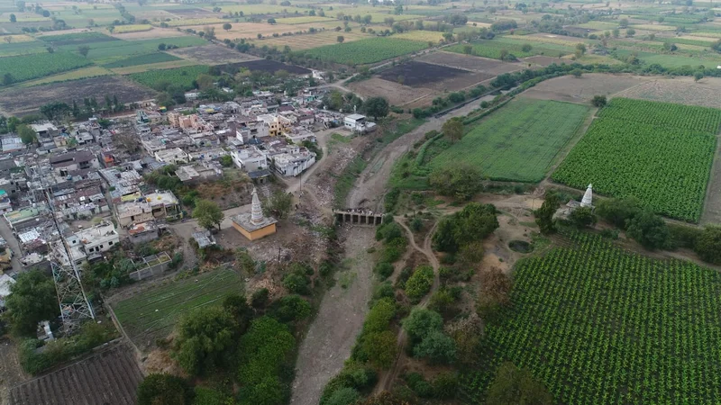
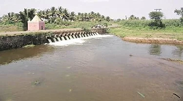
The Maner River, a tributary of the Godavari River, is sustained by the Salivagu River. It serves as a vital water source, providing drinking water to the city of Karimnagar in Telangana and supporting the NTPC power plant in Ramagundam. Manar River sub-basin located in the Latur and Nanded districts of Maharashtra.
Dudhana River
The Dudhana River is a significant tributary of the Purna River, located in the Marathwada region of Maharashtra, India. It originates in the hills of Khuldabad, Mhaisamal, and Sarola in the Aurangabad district. Flowing eastward, the Dudhana River traverses the Parbhani district before merging with the Purna River. The Dudhana River length is about 177 kilometers long .

Kayadhu River
The Kayadhu River flows through the Hingoli district in Maharashtra, India. It originates from the village of Kankerwadi in the Washim district and flows through several talukas, including Hingoli, Aundha, and Kalamnuri. The river eventually joins the Painganga River in the Nanded district, contributing to the local water system and supporting agriculture and other community needs along its course.


Wainganga
In Bhandara District The Wainganga[a] is a river in India originating in the Mahadeo Hills in Mundara in Gondwana region near the village Gopalganj in Seoni, Madhya Pradesh. It is a key tributary of the Godavari. The river flows south in a winding course through the states of Madhya Pradesh and Maharashtra, roughly 580 km (360 mi). After joining the Wardha River, the united stream, which is known as the Pranahita River, empties into the Godavari River at Kaleshwaram, Telangana.
Krishna
This article is about an Indian river. For other uses, see Krishna (disambiguation). Krishna River Krishna River gorge by Srisailam, Andhra Pradesh, India Path of the Krishna in the peninsular India ([1]) Location Country India State Maharashtra, Karnataka, Telangana, Andhra Pradesh Region South India Physical characteristics Source Near Mahabaleshwar, Jor village, Dist- Satara • location Satara district, Maharashtra, India • coordinates 17°59′19″N 73°38′17″E • elevation 914 m (2,999 ft) Geographic headwaters Mouth Bay Of Bengal • location Hamsaladeevi, Krishna district, Andhra Pradesh, India • coordinates 15°44′06″N 80°55′12″E[1] • elevation 0 m (0 ft) Length 1,400 km (870 mi) or 1,290 km (800 mi)approx.[2] Basin size 258,948 km2 (99,980 sq mi) Discharge • average 2,213 m3/s (78,200 cu ft/s) Discharge • location Vijayawada (1901–1979 average), max (2024), min (1997) • average 1,641.74 m3/s (57,978 cu ft/s) • minimum 13.52 m3/s (477 cu ft/s) • maximum 33,413.88 m3/s (1,180,000 cu ft/s)[3][4] Basin features Tributaries • left Yerla, Bhima, Dindi, Musi, Paleru, Munneru • right Kudali (Niranjna) Venna, Koyna, Panchganga, Dudhaganga, Ghataprabha, Malaprabha, Tungabhadra The Krishna River in the Deccan plateau is the third-longest river in India, after the Ganga and Godavari. It is also the fourth-largest in terms of water inflows and river basin area in India, after the Ganges, Indus and Godavari.[5] The river, also called Krishnaveni, is 1,400 kilometres (870 mi) long and its length in Maharashtra is 282 kilometres.[6] It is a major source of irrigation in the Indian states of Maharashtra, Karnataka, Telangana and Andhra Pradesh


Agrani River
In Sangli district, the Agrani River flows for a total of 62 km, traversing through three tehsils: 22.5 km in Khanapur, 14 km in Tasgaon, and 25.5 km in Kavathe Mahankal. Beyond Sangli, the river enters Karnataka near Athani village, where it eventually merges with the Krishna River. Serving as a crucial water source, the Agrani River is considered the lifeline of the drought-prone Kavathe Mahankal tehsil.


Indrayani River
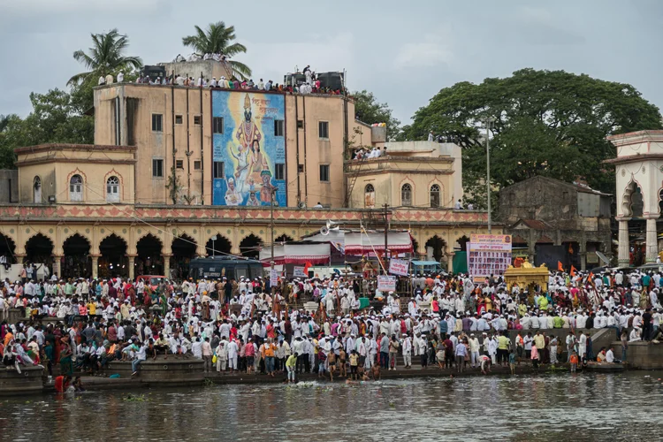
The Indrayani River originates from Kurvande village near Lonavla, a popular hill station located in the Sahyadri mountains of Maharashtra, India. This rain-fed river flows eastward, passing through key Hindu pilgrimage sites like Dehu and Alandi.


Bhima River
The Bhima River, also know as the Chandrabhaga River, is a significant watercourse in Western and South India. Stretching across 451 kilometers, it flows southeast through the states of Maharashtra, Karnataka, and Telangana, ultimately merging with the Krishna River. The river originates from the Bhimashankar Temple located in the Bhimashankar hills of Khed Taluka in Pune District, part of the Western Ghats (Sahyadri range).


